Illustrationen zur Topographie des alten Rom
description
Barevný 28 cm + Měřítka 1:20 000 (E 12°28'37"--E 12°32'02"/N 41°55'33"--N 41°52'18")
- institution
- Mapová sbírka Přírodovědecké fakulty UK v Praze
- subcollection
- Mapová sbírka
- type
- Mapy
- subject author
- Ziegler, Christoph
- dating
- 2. století, 2.-4. století
- date of issue
- 1873
- document publisher
- Paul Neff
- language
- Němčina
- origin
- Německo, Stuttgart
- material
- Papír
- inventory number
- 1992599
similar subjects
-
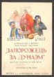 Slovanská knihovna„Záporožec za Dunajem“: komická opereta
 -
 Slovanská knihovna„Zrada“: historická hra H. Kovalenka
 -
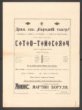 Slovanská knihovna„Sto tysjač“: komedie Karpenka-Karého (I. Tobilevyče)
 -
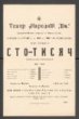 Slovanská knihovna„Sto tysjač“: komedie Karpenka-Karého (I. Tobilevyče)
 -
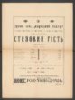 Slovanská knihovna„Stepovyj hist“: komedie B. Hrinčenka
 -
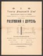 Slovanská knihovna„Rozumnyj i dureň“: komedie I. Tobilevyče
 -
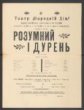 Slovanská knihovna„Rozumnyj i dureň“: komedie I. Tobilevyče
 -
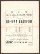 Slovanská knihovna„Po-nad Dnjiprom“: drama Ivana Tobilevyče
 -
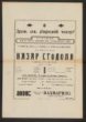 Slovanská knihovna„Nazar Stodolja“: historické drama Tarase Ševčenka