Historisch-geographisch-statistisch-gefaellsaemtliche Karte von Königreiche Böhmen
description
Mědiryt, ruč. kolor. 47 x 69 cm Měřítko [ca 1: 1: 1 500 000]. 5 cm = 7 geograph. Meilen (011°43´20" v.d.--016°52´10" v.d./051°06´37" s.š.--048°27´30" s.š.)
- institution
- Mapová sbírka Přírodovědecké fakulty UK v Praze
- subcollection
- Mapová sbírka
- type
- Mapy
- subject author
- Bastien, Joseph
- date of issue
- 1831
- document publisher
- Cajetan von Mayregg.
- language
- Němčina
- origin
- Hlavní město Praha, Prag
- material
- Papír
- inventory number
- 1290047
next subjects
-
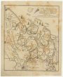
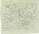 Mapová sbírka Přírodovědecké fakulty UK v PrazeCharte ehemaliger Burgen & Vesten im Rakonitzer, Kauřimer und Berauner Kreise Böhmens
 -
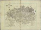 Mapová sbírka Přírodovědecké fakulty UK v PrazeKarte der Reichenberger Bezirkshauptmannschaft
 -
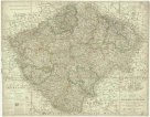 Mapová sbírka Přírodovědecké fakulty UK v PrazeCharte vom Königreiche Böheim
 -
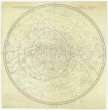 Mapová sbírka Přírodovědecké fakulty UK v PrazeStereographischer Entwurf des Gestirnten Himmels
 -
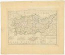 Mapová sbírka Přírodovědecké fakulty UK v PrazeAsiae Minoris
 -
 Mapová sbírka Přírodovědecké fakulty UK v PrazeNeuer Plan von den Lauf der Schiffbaren Schelde, von Antwerpen durch Holländisch Seeland, bis zu deren Mündung an der Nord See
 -
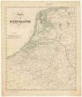 Mapová sbírka Přírodovědecké fakulty UK v PrazeKarte der Niederlande
 -
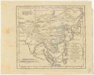 Mapová sbírka Přírodovědecké fakulty UK v PrazeCharte von China und den angränzenden Ländern, und Völkerschaften so wie dem letzten Kaiser Tschien-Long unterworfen waren
 -
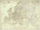 Mapová sbírka Přírodovědecké fakulty UK v PrazeCharte von Europa mit der Nordküste von Africa und einen grossen Theile von Asien