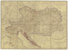
Topographische Karte von Deutschland und Italien nebst den angrenzenden Laendern
description
Barev., podlepena plátnem 109 x 116,6 cm na celku 114,4 x 122,4 cm, 1 list 57,2 x 61,2 cm Měřítko [ca 1:1 020 000]. 14,6 cm = 20 deutsche oder geographische Meilen 15. auf 1. Grad (002°48´05" v.d.--020°33´19" v.d./054°46´31" s.š.--044°22´15" s.š.)
- institution
- Mapová sbírka Přírodovědecké fakulty UK v Praze
- subcollection
- Mapová sbírka
- type
- Mapy
- subject author
- Dirwald, Joseph;
- date of issue
- 1813
- document publisher
- Tranquillo Mollo
- language
- Němčina
- origin
- Rakousko, Wien
- material
- Papír
- inventory number
- 001364852
similar subjects
-
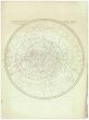 Mapová sbírka Přírodovědecké fakulty UK v PrazeStereographischer Entwurf des Gestirnten Himmels
 -
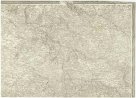 Mapová sbírka Přírodovědecké fakulty UK v PrazeTopog. Carte von Kriegs-Schauplatzes am Rhein und angränzenden Ländern von Deutschland und Frankreich
 -
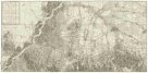 Mapová sbírka Přírodovědecké fakulty UK v PrazeNeuster Grundrißs der Haupt und Residenzstadt Wien und der umliegenden Gegenden
 -
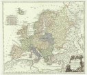 Mapová sbírka Přírodovědecké fakulty UK v PrazeKarte von Europa nach dem D'Anville und Has neu verzeichnet
 -
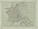 Mapová sbírka Přírodovědecké fakulty UK v PrazeKarte von Frankreich
 -
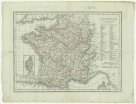 Mapová sbírka Přírodovědecké fakulty UK v PrazeFrankreich
 -
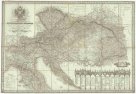 Mapová sbírka Přírodovědecké fakulty UK v PrazeNeueste General- Post- und Straßen Karte der Oesterreichischen Monarchie
 -
 Mapová sbírka Přírodovědecké fakulty UK v PrazeOestreichs Laender unter den Roemern
 -
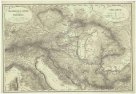
 Mapová sbírka Přírodovědecké fakulty UK v PrazeKarte der Oesterrechischen Monarchie